Easily view and edit your photos and share them to Google+.
Free program for splitting and merging maps in Garmin format.
Plot geotechnical, environmental, and geophysical data as a graphic boring log.
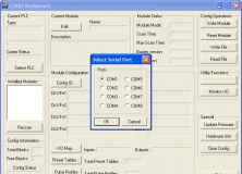
The program uses a graphical interface to setup the different operational modes.
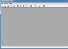
Free viewer for PlanetGIS projects.